
Wilmington ZIP Code Coverage
The Wilmington ZIP code directory starts with the delivery areas associated with a Wilmington address, not with an assumption that every code is a city boundary. New Hanover GIS returned geographic polygons for 28401, 28403, 28405, 28409, 28411, and 28412 among others, while USPS and North Carolina lists also show special delivery codes associated with Wilmington. The table separates map-oriented area descriptions from delivery exceptions. Check USPS for a particular address because the postal service controls the recognized delivery result.
| ZIP | Areas covered | Post office or city label | Record-search note |
|---|---|---|---|
| 28401 | Downtown, central riverfront, and core areas | Wilmington Post Office | Geographic polygon; USPS controls an exact address result |
| 28402 | PO Box or delivery grouping | USPS grouping with Wilmington 28401 | Exact facility classification was not located |
| 28403 | Central, west, college, and older streetcar-corridor areas | Wilmington grouping | Geographic polygon |
| 28404, 28406, 28407, 28408, 28410 | Special, PO Box, or unique delivery uses | Wilmington labels in official ZIP sources | Do not assign a neighborhood without USPS validation |
| 28405 | North and east delivery area | Wilmington grouping | Geographic polygon |
| 28409 | South and east, including Masonboro-oriented area | Wilmington | Geographic polygon |
| 28411 | North Wilmington and northern-county overlap | Wilmington | Some addresses can be outside city limits |
| 28412 | South Wilmington and the Carolina Beach Road side | Wilmington | USPS grouping also includes 28449 |
Nearby 28428, 28449, and 28480 are county or beach-area polygons, and 28429 is Castle Hayne. A mailing city can still be Wilmington, so a code should be paired with municipal limits and the parcel record when jurisdiction matters.
Checking Wilmington Delivery Codes With USPS
Use the official USPS delivery lookup before relying on a delivery code. It offers address, city-and-state, and cities-by-ZIP modes. USPS cautions that a match does not confirm that a person or company is at an address. If the first result is broad, add the recognized city, street address, and unit where applicable. This is a delivery check, not a resident-search result.
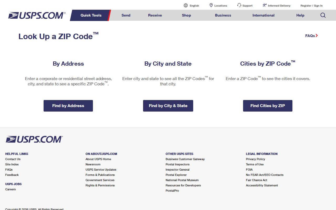
The lookup screen shows why city name and unit details can narrow a postal answer that first returns more than one possibility.
| USPS field | Mode | Required | Use in a Wilmington ZIP check |
|---|---|---|---|
| Street Address | By Address | Yes | Validate an individual delivery location |
| Apt/Suite/Other | By Address | No | Narrows a multi-unit result |
| City and State | By City and State | Yes | Lists delivery codes associated with a recognized locality |
| Delivery ZIP | Cities by ZIP | Yes | Checks postal-city associations for a code |
| Results per page | All modes | No | Offers 10, 20, or 30 results |
Wilmington Postal Office Route
For a counter or service question, the USPS Wilmington Post Office listing identifies the main office at 152 N Front Street in the 28401 delivery area, with weekday lobby hours listed as 9 a.m. to 5 p.m. The inspection also identified nearby Azalea, Dogwood, and Myrtle Grove stations. Confirm current hours through USPS because postal service details can change. The post office is the correct channel for delivery validation, while New Hanover GIS and Tax handle geography and parcel questions.
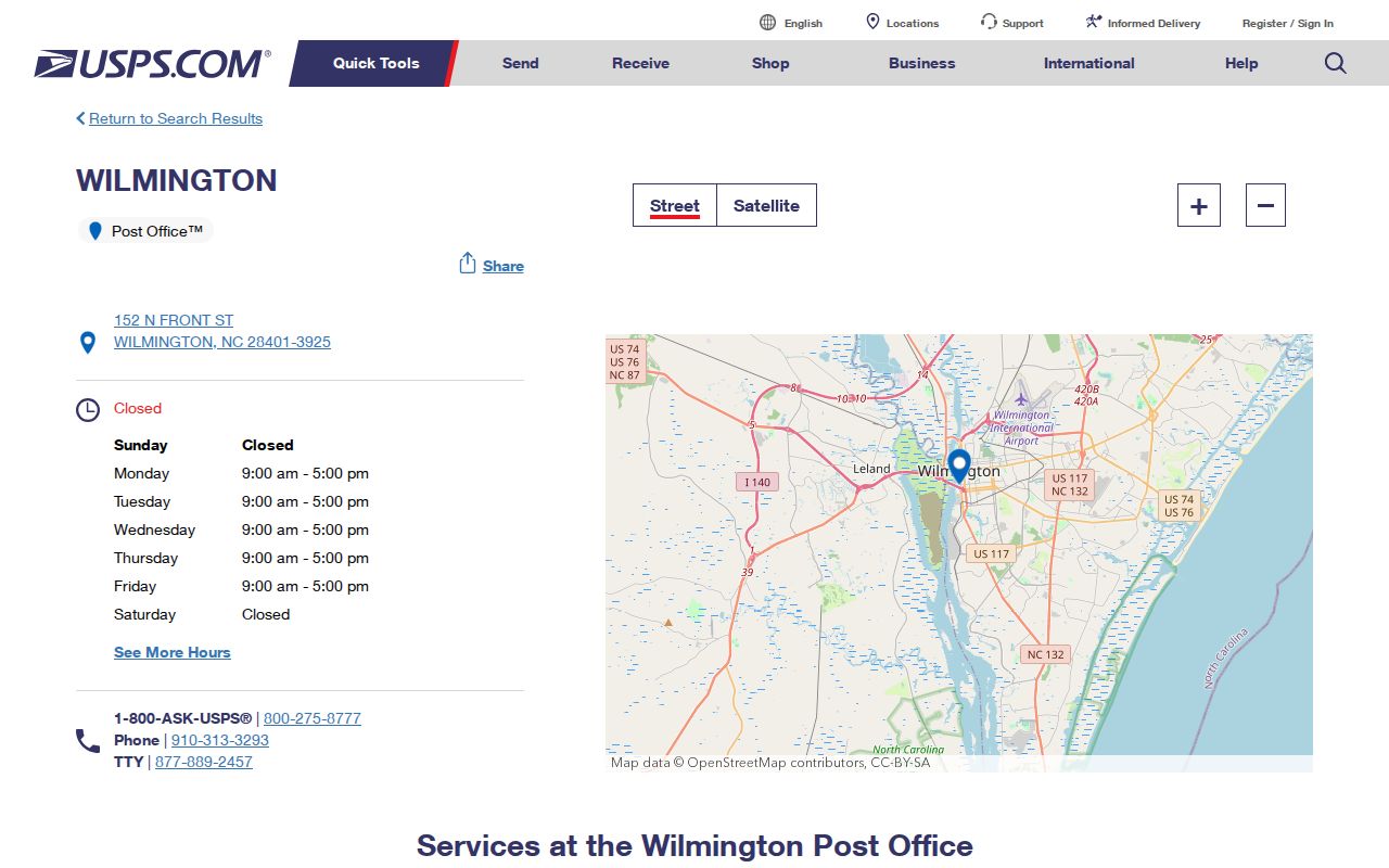
The office listing is a practical handoff after an online ZIP check needs current postal-service confirmation.
Finding Wilmington Records by ZIP
A ZIP narrows geography, but each public source uses it differently. The Tax portal's Advanced mode is the likely route for a ZIP-wide property extract, although the complete live field set was not visible during maintenance. The county Tax Data Request form can request property location, mailing address, parcel ID, name, tax district, property class, and other defined fields. The county GIS ZIP layer supports the ZIPCODE field, queries, statistics, ordering, distinct values, and pagination. The voter request form uses precinct and address-related fields rather than an expressly named ZIP filter.
- Validate the address or delivery area with USPS, especially where a special or PO Box code may be involved.
- Use the GIS ZIP polygon to establish map context, then compare MuniLimits if the city boundary matters.
- Search the Tax portal by address, owner, parcel ID, or available Advanced criteria. For a defined group, describe the needed fields on the county request form.
- For election records, use the person lookup for a named individual or request a lawful county or precinct report. Do not treat precinct results as ZIP totals.
- Once a particular street is identified, use the Wilmington Streets route for parcel-by-parcel records rather than stretching a postal filter into an address list.
Note: The public Tax search is free, while a custom data extract can have a county charge and the inspected forms do not state a uniform turnaround time.
Wilmington Postal-Area GIS Polygons
The New Hanover ZIP polygon service gives a reproducible map route. Its ZIPCODE attribute is designed for query work, including statistics, ordering, distinct values, pagination, and JSON, geoJSON, or PBF results. A polygon is useful for checking broad geographic overlap, but it is not a delivery roster and does not capture every PO Box or unique delivery code.
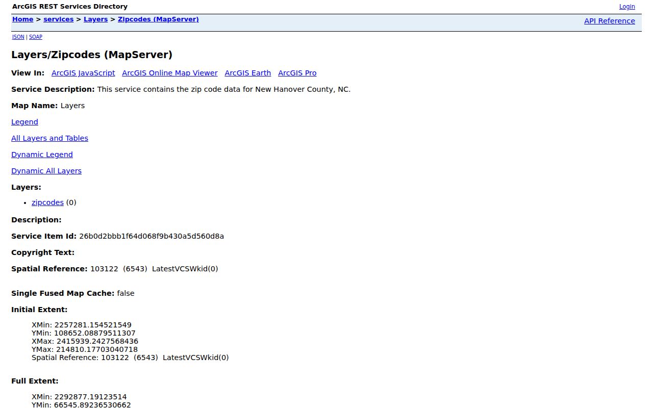
Use the polygon as geographic context, then move to USPS for the actual delivery answer and Tax for the linked parcel record.
North Carolina's AddressNC service adds the state address-maintenance and NG911 context. It supports accurate address quality control and call routing, but it is not a substitute for the USPS address result or a personal directory.
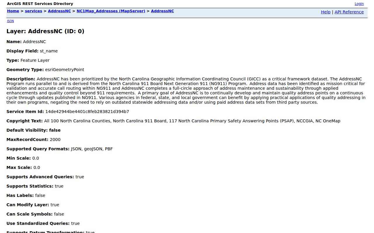
The state service helps explain why a current standardized address can be a better starting key than a remembered postal label.
Wilmington Delivery Codes and City Limits
A Wilmington delivery code is a postal convention, not a city-limit determination. Postal Wilmington, the City of Wilmington, New Hanover County, and the beach communities have different footprints. The county MuniLimits service displays municipal limits and postal-city abbreviations. Pair it with USPS for delivery and with the parcel's Tax record or legal description for a specific property. This prevents an address in 28411, 28412, or a nearby county code from being treated as city jurisdiction solely because it uses Wilmington in the mailing line.
Boundary check. Use USPS to validate delivery, MuniLimits to compare city jurisdiction, and the Tax parcel record to identify the property being researched.
Wilmington Delivery Terms
These terms keep a postal reference from being mistaken for a parcel map or a roster. They are especially important around Wilmington's special delivery codes and county-edge polygons.
- ZIP and ZIP+4
- A ZIP identifies a broad postal delivery area. ZIP+4 adds a more precise segment, such as a block face or unit range, within that area.
- PO Box ZIP
- A delivery code used for post-office boxes. It may not appear as an ordinary geographic county polygon.
- Unique ZIP
- A special delivery code associated with a single institution or use. Research did not identify the exact facility for Wilmington's listed special codes.
- Carrier route
- A postal-delivery grouping used to organize distribution. It is not a municipal boundary or a resident list.
For 28404, 28406, 28407, 28408, and 28410, use USPS rather than assigning a neighborhood from the label alone. The official sources inspected did not establish every exact facility or delivery area.
Wilmington Postal Geography Context
Wilmington's postal geography should be read against its physical and municipal setting. The Census Bureau reported a 2020 population of 115,451 for Wilmington and a July 1, 2024 estimate of 125,284, while New Hanover County counted 225,702 people in 2020. That difference shows why this postal reference cannot stand in for a county-wide or city-jurisdiction directory. The city, beach communities, and unincorporated areas can share postal conventions without sharing the same records custodian.
The Census QuickFacts page for Wilmington supplies the population context for reading the city separately from New Hanover County.
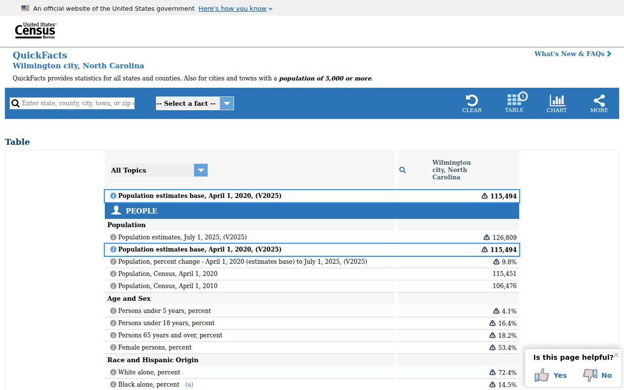
Population figures supply scale, not a ZIP-level count, and should not be used to infer the number of people served by a delivery code.
Wilmington Neighborhood Labels by ZIP
Neighborhood names can help orient a ZIP search but do not replace postal, municipal, or parcel keys. The Greater Downtown Plan groups areas such as Downtown Core, Historic Wilmington, Northside/Love Grove, Dry Pond/The Bottom, Southside/South Front/Greenfield, and the Carolina Heights, Winoca Terrace, Carolina Place, Ardmore, and Delgado areas. Those are planning geographies. They should not be treated as official ZIP boundaries or proof that a record belongs to a particular municipal jurisdiction.
The Greater Downtown Plan illustrates the city’s planning-area vocabulary.
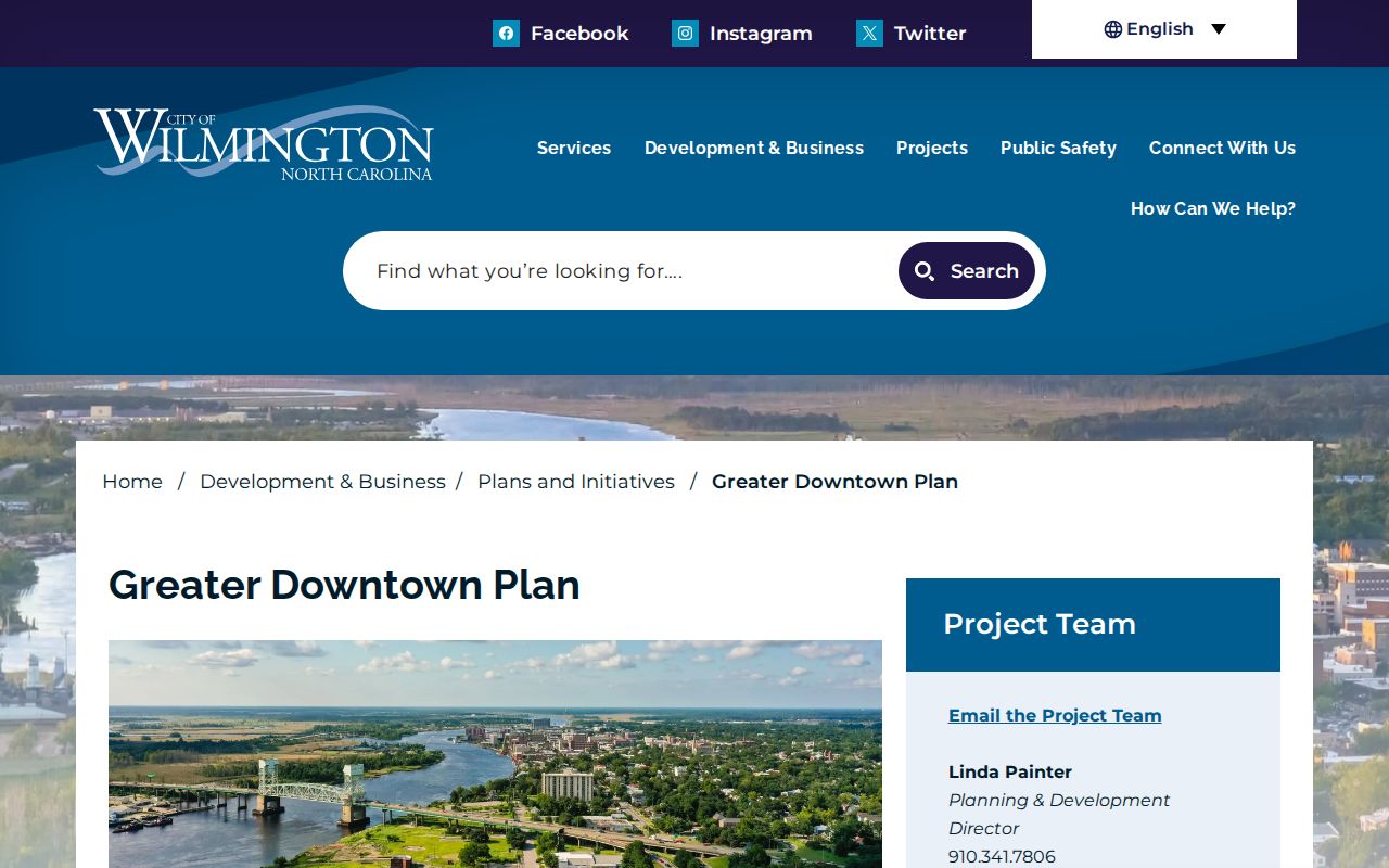
Use neighborhood labels as a plain-language orientation aid, then confirm the ZIP, municipal-limit layer, and parcel record separately.
Historical Wilmington ZIP Code Caution
No official source inspected identified a Wilmington ZIP split, realignment, or renumbering history with a verified year. Do not presume a present ZIP existed when an old directory, deed, newspaper, or map was created. Start an older address search with the street, intersection, legal description, parcel history, or directory entry. Early Wilmington houses could be unnumbered, and postal addresses changed over time.
This postal reference is strongest for current delivery validation. Historical research needs the older address keys that records actually used, followed by a current USPS and GIS check only when the present-day location is relevant. A deed's legal description, an historic directory's intersection, or a parcel history can bridge the earlier address to the current location more safely than a guessed delivery code.