
Wilmington Previous Residents Sources
Previous residents are traced most reliably by moving from the newest parcel record toward older documents, then adding address-based historical sources. The New Hanover Tax portal gives the present parcel context. The Register of Deeds supplies the recorded chain. Directories, Bill Reaves Block Books, newspapers, census schedules, maps, cemetery records, and probate material add the people and events that a deed alone cannot provide. Each source has a different time range and a different limit. Start with the source that matches the period, then save the parcel ID, book and page, legal description, directory page, or other placement for the next step.
| Source | Years it covers | Where held | What it shows |
|---|---|---|---|
| County land records | Office holdings since the 1700s; online cutoff not stated | Register of Deeds | Grantor, grantee, deeds, liens, plats, and legal descriptions |
| Wilmington directories | 1860-1963 visible span, with irregular runs | DigitalNC and Local History Room | Street numbers, names, business or trade clues, and printed marks |
| Bill Reaves Block Books | 1860-1930s clippings, with other years present | Local History Room | Address and block newspaper evidence |
| Federal census | 1790-1950 public | National Archives and partner access | Household structure, age, birthplace, and relationships |
| Wilmington newspapers | 1799-1948 title-specific runs | NC Archives, library, NCLive, and DigitalNC | Notices, obituaries, construction, and civic context |
| Sanborn maps | Much of the late 1800s and early 1900s; exact local years need checking | NCLive, UNC digital maps, and LCFHS | Building footprint, material, use, and nearby lots |
A Historic Homes: Your Story search starts with what needs to be answered, such as who built a place, who lived there, or what stood there earlier.
That method keeps property, directory, map, and newspaper evidence in one chain instead of relying on a single old address result.
Wilmington Address and Parcel Start
For past residents, begin with the current New Hanover Tax record. Copy the situs or property location, owner mailing address, parcel ID, subdivision, lot, block, legal description, sale date, and each owner or co-owner. These fields are not interchangeable. A situs address identifies where a parcel lies, while the mailing address shows where tax correspondence goes. Neither field alone establishes who physically lived at the address. A current owner can be a trust, an estate, a company, or several people, so the deed is needed before assigning an earlier name to the property.
The Tax portal offers Owner, Address, Parcel ID, and Advanced modes. If the street search fails, test abbreviation and direction variants, then use the parcel ID. County property data for ownership, sale dates, prices, and characteristics is stated to update weekly. The county also warns that map lines are not legal survey boundaries and may not align precisely with aerial imagery. Treat the parcel card as the starting card for the backward trail, not final proof of an occupant.
Address flow: property address → parcel ID and legal description → current owner → purchase deed → prior owner’s purchase deed.
Wilmington Deed Chain for Residents
New Hanover’s Register of Deeds is the recorded-instrument source for the backward part of a previous-residents search. Its office history places property records in the 1700s, and a county report documents indexing of 1728-2016 material and scanning of old deed books. The current public index does not publish one definitive online start year for every image or instrument. Its own disclaimer warns that the index can be partial, may include redactions, and does not replace the office computer context. That is why the chain should be recorded as book, page, instrument, and legal description, not simply as a string of names.
- Use the tax card to identify the current owner, parcel, legal description, and any purchase clue.
- Search that owner in the Register of Deeds index as a grantee, then open or obtain the purchase deed.
- Copy the seller or sellers, recording date, prior book and page, legal description, referenced plat, and related instrument numbers.
- Search each seller as a prior grantee to locate that person’s acquisition document, switching between grantor and grantee as the chain moves back.
- When the online trail stops, take the latest book, page, and legal description to the Register of Deeds counter, Local History Room, NC Archives, or a verified microfilm collection.
- Grantor and grantee
- The grantor transfers an interest in a recorded document; the grantee receives that interest.
- Chain of title
- The connected sequence of recorded transfers used to follow a parcel from one owner to an earlier one.
- Legal description
- The lot, block, subdivision, metes-and-bounds, or other recorded parcel description that can persist when a street number changes.
The New Hanover Register of Deeds provides the counter route and land-record service information behind the public index.
The counter and public search stations matter when an older record is not fully represented online or a document needs careful review.
Wilmington Plats Bridge Addresses
A postal number is fragile evidence in an older Wilmington trail. The Historic Homes material confirms that addresses changed and that early houses often had no number. A parcel can also split, merge, or move from a metes-and-bounds description to a lot-and-block description. When that occurs, compare the deed’s legal description with a subdivision plat, prior book and page, nearby intersections, and the next deed in the chain. A plat can turn a changing street number into a stable lot or block reference.
Sanborn maps help date the structure rather than prove ownership. They can show footprints, building material, stories, chimneys, external structures, property lines, roads, businesses, and stables. The Historic Homes route points to NCLive with a library card and UNC’s digital maps without a card. The Lower Cape Fear Historical Society holds Sanborn maps for much of the late nineteenth and early twentieth centuries. The research did not identify a complete Wilmington year-by-year list, so confirm the map index before assuming a particular edition exists.
New Hanover County maps link historic Wilmington map material alongside other county mapping resources.
A map can explain an old street or building context, but the deed and parcel record remain the source for the recorded ownership chain.
Wilmington Past Residents in Directories
After the title trail is anchored, directories add the address-level people layer. Wilmington’s visible directory span runs from 1860 to 1963, with gaps and irregular publication. Read the street index first, then copy the exact street name, number, cross street, status mark, and names. Verify the surname in the alphabetical section where available. The Local History Room’s Bill Reaves Block Books add address- and block-arranged newspaper clippings, while its companion family-name file provides a surname route. Those sources can identify a resident, event, or address clue that a deed will never show.
The 1924 street listing shows numbered entries and one or more occupant names under a street heading. Its asterisk should be interpreted only with that volume’s front matter. A directory gap or a missing surname is not negative proof, because printed runs are irregular and names or numbers can shift. The detailed collection runs, entry-reading method, and Local History Room access are available on the Wilmington city directory page.
The Lower Cape Fear Historical Society archive describes its appointment-based directory, map, house-file, oral-history, and remote-research materials.
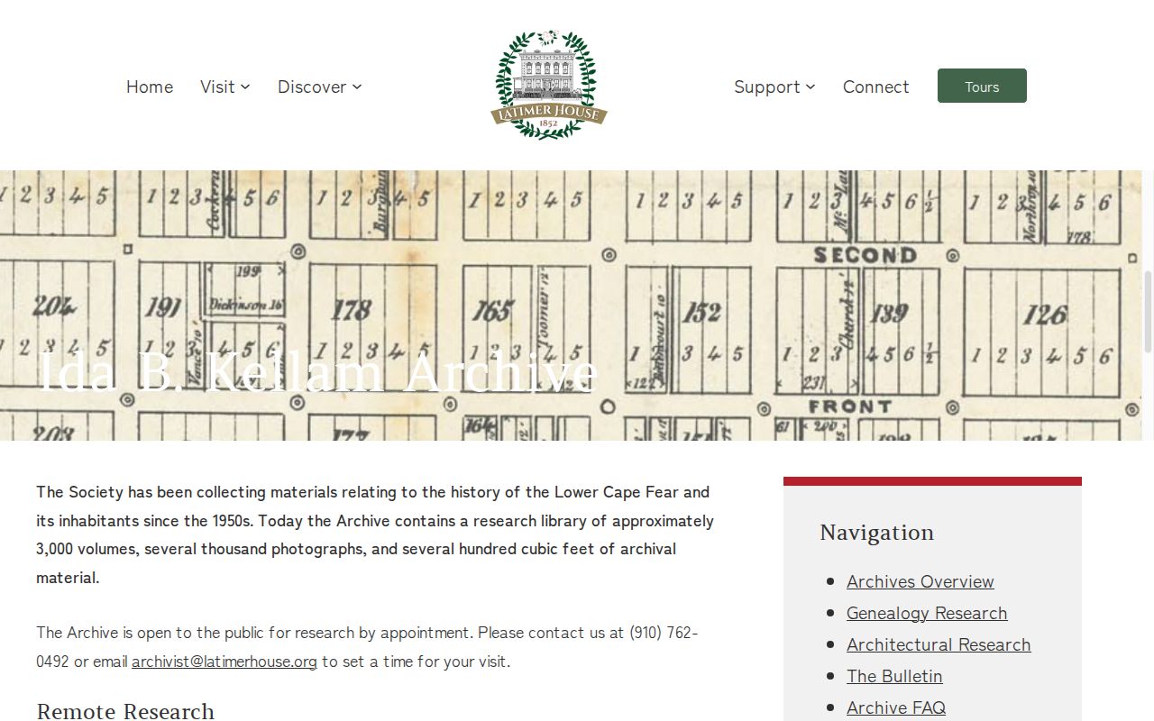
An archive question should include the address, known period, surnames, and any book or parcel reference already found.
Wilmington Residents Through Census Years
Past residents become more than a name on a street when a directory year is paired with the nearest census schedule. Federal population censuses were taken every ten years from 1790, and 1950 is the newest public census because of the 72-year access rule. The suggested Wilmington pairs are 1897 with 1900, 1907 or 1909 with 1910, 1917 or 1920 with 1920, 1924 or 1926 with 1930, and 1934 with 1940. A 1963 directory must be followed through later non-census sources. Census material can add age, birthplace, relationship, and household structure, but ward or precinct language may not match a modern street or municipal boundary.
- Choose the address and a directory year, then record the number, cross street, printed names, and page.
- Check the nearest census and compare the name, age, relationship, birthplace, and place within the city.
- Use a newspaper or obituary to test a move, death, or name change between the directory and census years.
- Return to deeds, tax cards, and probate only after the address and time period align across the household evidence.
Wilmington Obituary and Probate Endpoints
Newspapers, burial records, obituaries, and probate can close a prior-resident trail without turning a directory entry into a conclusion. The New Hanover Clerk of Superior Court holds estates, probate, special proceedings, and other court files; the eCourts Portal provides public summaries, while official file copies and older paper material route through the Clerk. An executor or heir named in estate material can be compared with later deeds, an obituary, cemetery information, and probate notices. Do not infer legal heirship from a tax card or directory listing alone.
For Wilmington, the library links Pine Forest Cemetery’s digitized register, Oakdale’s known-burials database, and Bellevue burial records with Register A and B entries from July 1876 through May 1988. The county cemetery layer maps known abandoned or neglected plots, not every burial. Newspaper title coverage is also uneven, with suspensions and gaps that belong in the research note.
The North Carolina Archives newspaper guide identifies Wilmington titles and microfilm runs.
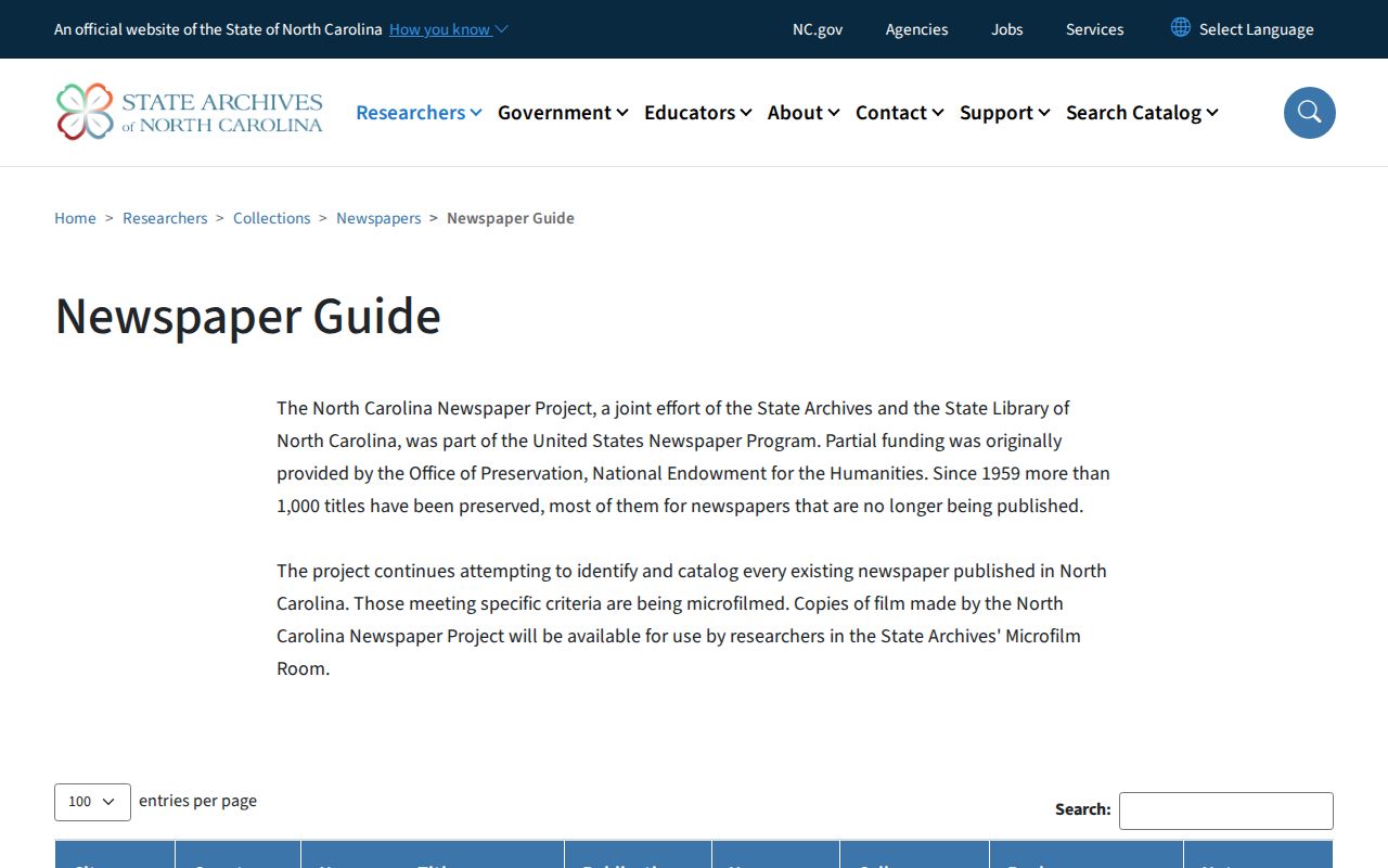
Use a title’s actual dates before treating an empty newspaper search as proof that a notice or obituary did not exist.
Wilmington Index and Counter Gaps
Wilmington’s records show a useful contrast: the Register of Deeds has a free public index and land records reaching into the 1700s, but it warns that indexing may be partial and that office computers provide the authoritative search context. Digital directory scans are available online, while Bill Reaves Block Books are in-room. City code cases can be searched by address or case number, but county permits route through COAST and public field coverage was not fully verified. The strongest address history follows these handoffs instead of assuming one portal has the whole answer.
Keep the original spelling, address variants, parcel ID, legal description, and placement notes. If the online deed chain stops, the proper next move is the counter or a documented library or archive collection, not an invented cutoff year. That preservation story is local: county reports describe indexing and scanning work for 1728-2016 documents, while the live index still warns of incompleteness. The gap is a reason to verify, not a reason to abandon the address trail.