
Walking a Wilmington Street by Address
For an address-first Wilmington search, move from one address to the next rather than assuming one search result represents a whole block. The Wilmington-area New Hanover Tax record supplies the current parcel connection. The Wilmington GIS map supplies the street frontage and nearby parcel geometry. The Wilmington Register of Deeds connects a recorded owner to a transfer history. A Wilmington voter record may confirm registration for a named individual, but it is not a block roster. Historic Wilmington directories can add an earlier name-and-address clue. This sequence preserves the distinction between ownership, registration, and actual presence.
- Use the New Hanover Tax property search with a Wilmington address, then save the parcel ID, situs address, mailing address, owner, sale information, and legal-description clues.
- Open the parcel in the Wilmington-area county map and identify the street-facing parcel geometry. Record adjacent parcel IDs instead of guessing from a label.
- Use the public voter lookup only to check a named Wilmington person with the required name, year, county, and status choices. Treat a non-match as inconclusive.
- Search the owner as grantee in the Wilmington Register of Deeds index. The purchase deed, book/page, instrument number, seller, and plat references make the chain more reliable.
- For an earlier Wilmington era, check the Local History Room's street and criss-cross material, then verify an apparent occupant in the alphabetical directory section.
That order gives a street-by-street trail without turning a parcel owner or a registration entry into a claim about everyone at an address.
Wilmington Street Directory Property Routes
The Tax portal is the practical first stop for a modern Wilmington address search. Its Owner, Address, Parcel ID, and Advanced modes organize a parcel around ownership and property data. The county says Wilmington ownership, sale-date, sale-price, and property-characteristic data are updated weekly. The card also separates the Wilmington property location from the owner's mailing address. That distinction matters: a mailing address is tax correspondence, not proof that someone is physically present at the parcel.
| Property search field | Search route | What the route helps establish | Local caution |
|---|---|---|---|
| Owner | Tax Owner tab | Wilmington recorded-owner lead | Owners can be trusts, estates, entities, or multiple people |
| Address | Tax Address tab | Wilmington situs or property-location lead | Try normal street variants before treating a miss as final |
| Parcel ID | Tax Parcel ID tab | Wilmington tax-card and map link | Best saved before deed work |
| Advanced | Tax Advanced mode | Broader Wilmington property filters | Complete live field choices were not visible during maintenance |
Use the county's property-data request form when a defined Wilmington extract is needed. It can request parcel ID, owner, property location, mailing address, tax districts, property classes, and selected value fields. The form does not publish a universal fee or processing time, so confirm county policy first.
Wilmington Street Directory Map Context
The county's GIS applications turn a named Wilmington street into a set of address and parcel questions. Use Basic Map, Core Maps, or Find a Parcel, turn on Parcels and Addressing, and select a feature rather than relying on a boundary line alone. The map can provide Wilmington road orientation, parcel geometry, public-district context, municipal limits, ZIP polygons, floodzones, and development layers. It does not establish a legal boundary, and the Wilmington owner name belongs to the linked tax record rather than the drawn line.
The New Hanover GIS maps and data page shows the county's current application choices and data routes.
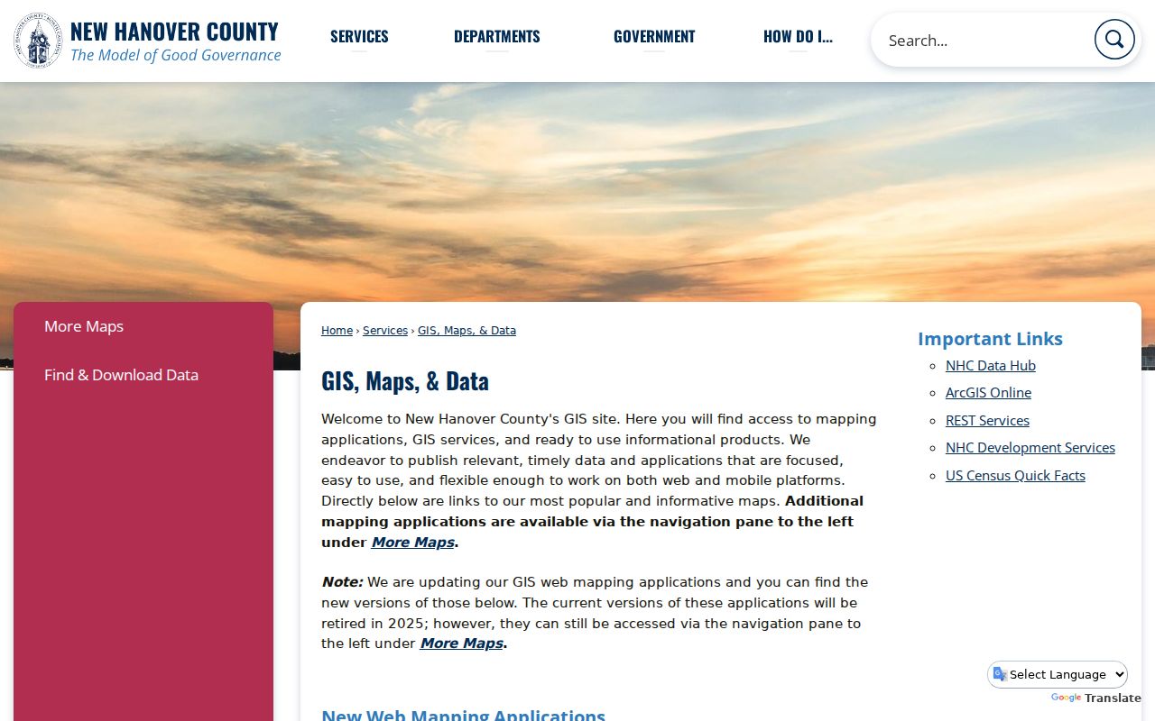
Use the application choice as a starting point, then narrow the view to a single Wilmington street segment before selecting individual parcels.
For a reproducible Wilmington parcel check, the TaxPublic MapServer exposes Addressing and Parcels layers. Its inspected service limits are 1,000 records and 2,000 selected features, so a narrow geometry or paginated query is safer than attempting a broad county request.
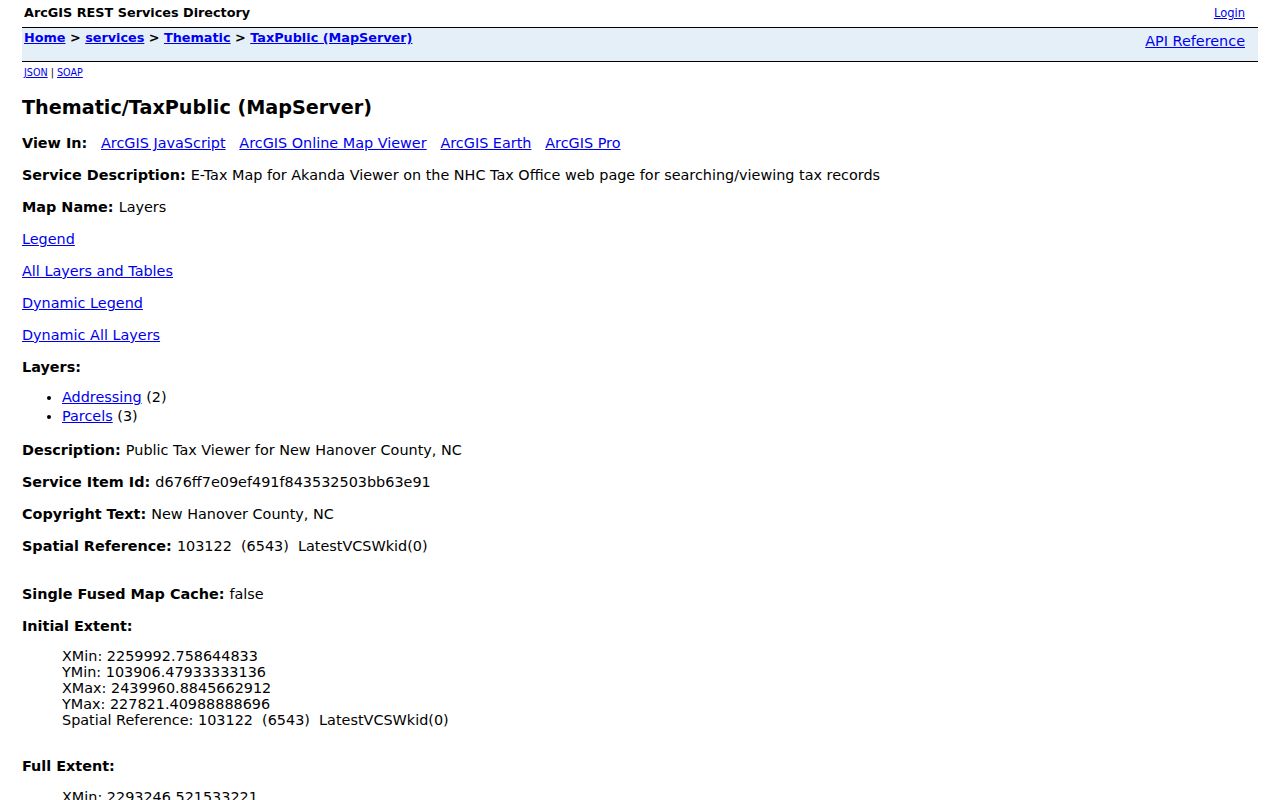
The map image reflects the public layer route, while the parcel card remains the source for ownership and mailing details.
Wilmington Street Address Keys
A street search in Wilmington uses more than one address system. The situs address is where a Wilmington parcel or improvement lies. The owner mailing address is where tax correspondence goes. A deed uses a legal description, which may be a subdivision lot and block or a metes-and-bounds description. A postal city and ZIP label belong to delivery, while voter residence and mailing fields serve election administration. These Wilmington keys can point to the same place, but they should not be substituted for each other.
- Parcel
- A Wilmington county tax-map unit tied to a property record and a parcel ID. It can split or merge over time.
- Situs address
- The physical Wilmington property-location address on the tax record, distinct from where tax mail is sent.
- Plat
- A recorded Wilmington map that can identify a subdivision's lots, blocks, roads, and boundaries.
- Criss-cross directory
- A Wilmington address-oriented historical directory that helps move from a street number to a listed name.
Note: A parcel line, mailing address, or postal label is useful evidence, but none alone identifies every person connected with a Wilmington address.
Wilmington Street Records by Address
A Wilmington street search becomes more dependable when each address-keyed source is used for the question it actually answers. Tax and GIS are current parcel tools. The Register of Deeds provides the recorded-instrument trail. Permits and code cases can date a project or public case at an address. Historic directories and block books supply older context. Each source has a separate access channel and a separate limit.
| Address-keyed source | Custodian | What it can show | Access route |
|---|---|---|---|
| Tax property record | New Hanover Tax Department | Wilmington owner, parcel ID, situs and mailing addresses, values, and sale information | Free Tax portal or defined data request |
| Parcel and addressing layers | New Hanover GIS/Mapping | Wilmington parcel geometry, road context, district layers, and adjacent parcels | Free maps, REST service, identify or query tools |
| Deed and plat index | New Hanover Register of Deeds | Wilmington grantor, grantee, legal description, book/page, and recorded instruments | Free index; office computers and copy schedule for verification |
| Permits and code cases | County COAST and City Compliance | Wilmington address-linked project, case, inspection, or violation context | Public portal or custodian follow-up; field coverage varies |
| Historic directories and block books | DigitalNC and Local History Room | Earlier Wilmington street numbers, listed names, intersections, and clippings | Digitized runs plus in-room research material |
The same Wilmington address may appear differently across these records. Preserve the search date and the exact version used, then check the relevant custodian when a Wilmington ownership, boundary, or historical question needs official confirmation.
Turning a Wilmington Parcel Into Deeds
The New Hanover Register of Deeds is the next step when a Wilmington parcel search reaches an owner. Search that owner as a grantee to locate the acquisition record, then note the grantor, recording date, book/page or instrument number, legal description, and references to Wilmington plats or earlier instruments. Search the seller as a prior grantee and repeat. A deed chain may reveal a split tract, merged parcel, changed legal description, easement, restrictive covenant, or older lot-and-block reference that an ordinary Wilmington street search misses.
The county's records-search page routes users to the Register of Deeds index and explains the official-record context.
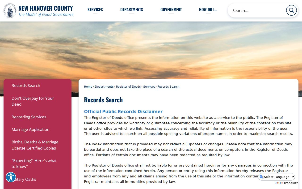
The public index is free, but its disclaimer warns that indexing may be partial and that the office computers supply the authoritative document-search context. When the online trail stops, take the latest book/page and legal description to the Register of Deeds counter, the Local History Room, or the North Carolina Archives rather than assuming the earlier record does not exist.
Wilmington Street Directory Name Quirk
Deed searching has a local quirk worth keeping beside every recorded-name result. The Register of Deeds pure-alpha name search removes spaces, punctuation, and special characters. Names beginning with And, An, or The may appear with or without the article. Test initials, spelling variants, married or maiden surnames, business names, and the two party roles before deciding an owner cannot be found. The portal also offers Standard, Full Text, Sounds Like, Starts With, date, book/page, instrument, and property-description routes.
On a long street, sort the work by parcel and legal description once the first deed is located. A surname-only search can mix unrelated people, while a lot, block, subdivision, or map reference keeps the Wilmington address trail anchored.
Wilmington Street Directory Voter Evidence
North Carolina's public voter lookup is person-oriented, not street-oriented. It requires first and last name, with optional middle initial, year of birth, county, and a registered or removed/denied status choice. A result can show registration details, jurisdictions, polling place, sample ballot information when available, absentee information, and voter history. Voter history means participation, not a candidate or ballot choice. For a broader lawful request, the New Hanover Board of Elections form offers report, map, or other data selections and can be delivered as a free email PDF or Excel file, while printed pickup has listed per-page charges.
Residence and mailing fields are public-list fields in the circumstances North Carolina law allows, but date of birth, Social Security number, driver-license number, identification copies, and protected addresses are withheld. A public registration match is evidence of election registration only, not a full current-resident list.
Wilmington Street Records for Cases
Address-linked permits and code material can date activity along a Wilmington street, but neither replaces title records. New Hanover County issues building permits for Wilmington through COAST. The City of Wilmington's public code route searches by address or case number and can show a case number, address, violation or type, and activity. Public field sets and historical coverage are not fully documented in the inspected sources, so use a result as a lead to the responsible custodian.
The City of Wilmington Code Enforcement page is the public entry point for that address-and-case route.
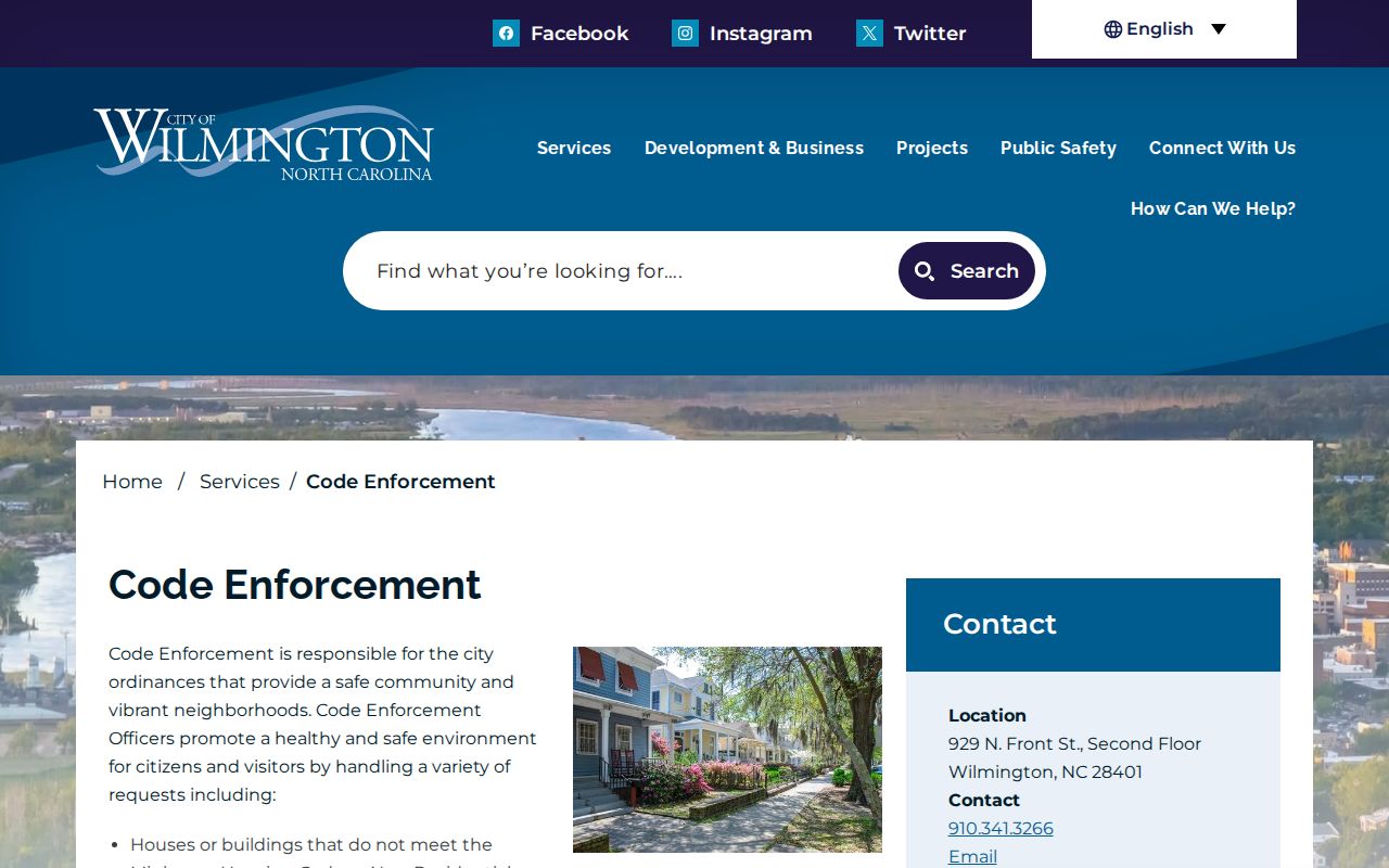
A case display can place a public issue or project at an address. It should not be used to infer household membership, ownership, or any person’s current location.
Wilmington Street Directory History Clues
Older Wilmington street listings need a different method. DigitalNC's visible city-directory span begins with 1860-61 and reaches a visible 1963 endpoint, but the runs are irregular. The Local History Room's name-and-address index covers 1897-1905, and its street-index project links 1897-1907. A historic entry can show a street number, cross street or intersection, occupant, business or occupation, and an owner-or-renter mark explained in that volume's front matter. Confirm a listed surname in the alphabetical section before connecting it to the address.
The Bill Reaves Block Books add address- and block-sorted newspaper clippings in the Local History Room. For a past household, the Wilmington City Directory collection gives the fuller historical shelf; this street-focused route is best used to pin down the block and then verify a name.
Wilmington Address Boundary Check
Postal Wilmington, the City of Wilmington, and New Hanover County do not always use the same footprint. The county MuniLimits service shows municipal limits and postal-city abbreviations, while the ZIP polygon layer provides geographic context. A Wilmington postal label does not establish city jurisdiction, and a ZIP polygon does not represent every PO Box or unique delivery code. For an old address, the problem grows harder because early houses were often unnumbered and postal addresses changed over time.
No official local source located one citywide renumbering year or a complete street-renaming chronology. Match an earlier record through intersections, adjacent addresses, a deed's legal description, an old street index, or a Reaves Block Book heading instead of forcing a present-day number onto the historical record.
Limits of Wilmington Street Records
An address-record search can show public entries, not a complete picture of every person at a property. It cannot reliably identify unlisted household members, visitors, utility customers, protected voters, sealed court parties, or DMV personal-address data. A tax owner is not necessarily the present occupant. A voter record confirms registration, not every resident. A no-result in an older directory is also not proof of absence because the runs have gaps and addresses changed.
Lawful use. Use Wilmington address records for personal, lawful research and civic context. Do not use them to stalk, harass, intimidate, or harm anyone.
When the goal shifts from a street to verifying one named person, use the separate Wilmington Resident Lookup route and confirm the relevant record with its custodian. Keep a note of the address variant, parcel ID, search date, and custodian response. Those details make it possible to revisit a changed index or correct a mistaken parcel match without repeating the entire search. They also preserve the distinction between a public search lead and an official record.