
Wilmington Neighbors Block Records
A block search is strongest when each source has one job. GIS shows the shape and setting of nearby parcels. Tax records identify a property owner, mailing address, situs address, values, sale data, and characteristics. Deeds and plats explain lot lines and ownership history. Voter records can support a limited civic question, and historic directories can place past occupants on a numbered street. None turns a block into a complete list of everyone who lives there.
| Source | What it shows about a block | Access route |
|---|---|---|
| GIS parcels | Adjacent polygons, parcel IDs, street frontage, and public district layers | Free map and REST services; map lines are not a survey |
| Tax property records | Owner, mailing and situs addresses, values, sale and property characteristics | Free search; owner does not equal resident |
| Recorded deeds and plats | Lot or block, easements, legal description and ownership chain | Free index; documents and copies through the Register of Deeds |
| Voter list or lookup | Registration, precinct, districts, status and voter history within lawful limits | Person lookup or a defined request; protected fields are withheld |
| Directories and Reaves files | Historic numbered addresses, occupants, and address-indexed clippings | Digital collections or the Local History Room; dates are irregular |
| Community organizations | Voluntary public contact route or civic context | Organization-controlled; no complete public member list located |
Wilmington neighbors may be connected by a shared boundary, the same frontage, or the same block face. A diagonal parcel is not automatically adjacent. A road, alley, waterway, or non-tax parcel can separate properties. Treat the parcel geometry as the starting point, then verify the selected parcel in the tax record before drawing any conclusion about an owner.
Mapping Wilmington Neighbors Parcel by Parcel
The New Hanover adjacent-parcel method begins with a verified address, not a surname. The county’s GIS Maps & Data page links current map applications and public services. Turn on Parcels and Addressing, then use Identify or Select on the target polygon. The map can add municipal limits, ZIP, flood, development activity, building activity, and district context, but its parcel lines are not a legal survey.
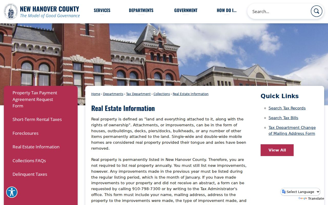
The New Hanover real-estate information page describes the property-record context used to resolve a selected parcel.
Use the selected parcel’s situs and owner or mailing fields as evidence of the property record, then keep any occupancy question separate.
- Confirm the target street address through USPS and the Tax record, then save the parcel ID and situs address.
- Open the map, enable Parcels and Addressing, and select the target polygon with Identify or Select.
- Pan along the frontage and select polygons that share a boundary or directly face the same block, recording their parcel IDs and situs addresses.
- Follow each parcel to Tax for owner and mailing data. Use a deed or plat only when the question is ownership history or block structure.
- Check the geometry before calling any parcel adjacent. Roads, water, alleys, and intervening parcels change the answer.
The flow is address → target parcel → shared-boundary parcels → tax owner or mailing record → deed or plat only when needed. For a full named-street chain rather than the immediate block, use the Wilmington Streets page.
Wilmington Neighbors Map-Layer Limits
County GIS apps are being replaced or updated, so the stable service layers can be more reproducible than a changing map screen. The TaxPublic service supports identify and query work with geometry and attributes, subject to record and selection limits. Narrow an area rather than treating a large map selection as a finished block list. Municipal-limit and ZIP layers are context tools, not proof of a resident’s city jurisdiction or a complete delivery address.
The county cemetery map service is one specialized layer that can add historical context to a place search.
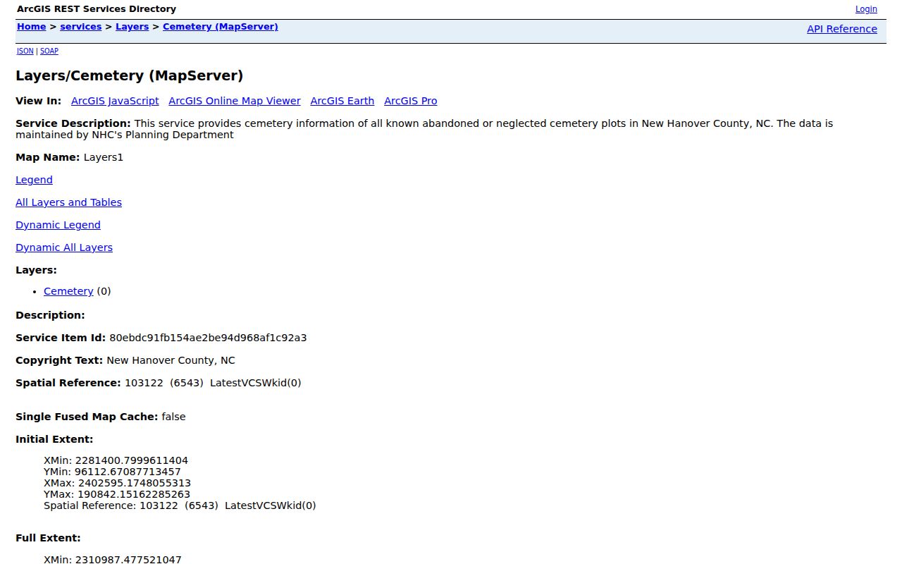
That distinction matters. An empty cemetery-map result does not mean no burial exists, and a parcel map result does not identify all Wilmington neighbors. For historic context, pair a map with cemetery registers, newspapers, directories, deeds, or Local History Room material, depending on the question.
Wilmington Neighbors and Voter Boundaries
The state voter lookup is person-oriented. It requires first name, last name, a status choice, and can be narrowed by birth year and New Hanover County. It can return registration details, jurisdictions, polling place, sample-ballot availability, absentee information, and voter history. Voter history is participation in an election, not a ballot choice. A result can support a limited registration question, but it is not a household roster and it cannot identify every person on a block.
For a defined precinct or district question, the New Hanover public-data request form allows the requester to describe an existing report or map and select fields such as name, residential address, mailing address, status, precinct, district, party, age category, registration date, and voter history. County guidance allows online and signed-form routes, including fax, mail, or hand delivery, with email PDF or Excel options and printed-delivery fees where applicable.
North Carolina withholds dates of birth, Social Security numbers, driver-license information, ID copies, and protected addresses. ACP participants and qualifying protected voters have confidential actual addresses. Use precinct and district data as civic geography, not as a reason to expose a block-level roster.
Note: A missing voter result can reflect a spelling, status, county, protection, or registration issue rather than absence from Wilmington.
Wilmington Neighbors Association Contacts
Neighborhood associations offer a better contact path than trying to assemble a private membership list. Research found several named Wilmington community layers, but not a complete current public roster for any of them. Residents of Old Wilmington says it works with the Council of Neighborhood Organizations and has advised the Carolina Place-Ardmore Neighborhood Association. City plans also identify NorthSide participation and several downtown planning geographies. Those references establish civic context, not personal membership.
Residents of Old Wilmington
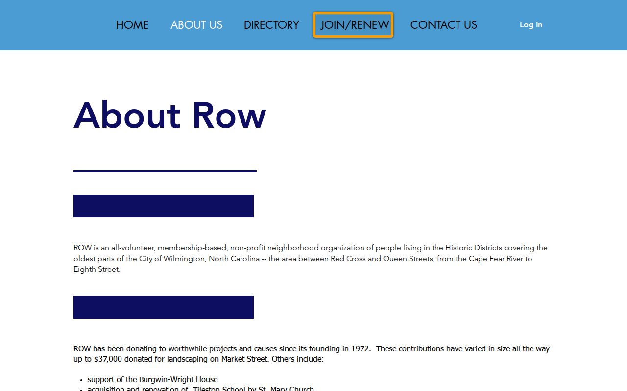
Historic-district preservation and quality-of-life organization serving the area between Red Cross and Queen, from the Cape Fear River to Eighth Street.
Carolina Place-Ardmore
Named by ROW as an advised neighborhood association. No public member directory was located in the research.
Contact route: begin with ROW or the association’s own published channel.
NorthSide Association
Identified in the City Northside small-area plan as a community-participation layer. A public roster was not located.
Contact route: use City planning materials or an organization-controlled channel.
The Residents of Old Wilmington page describes the organization’s public-facing role and contact route.
CONA, Seagate, congregations, civic clubs, and downtown organizations may have their own current contacts or private rosters. Ask the organization directly for public-facing information rather than treating a plan, a news item, or an old committee list as a live directory.
Wilmington Neighbors Civic Context
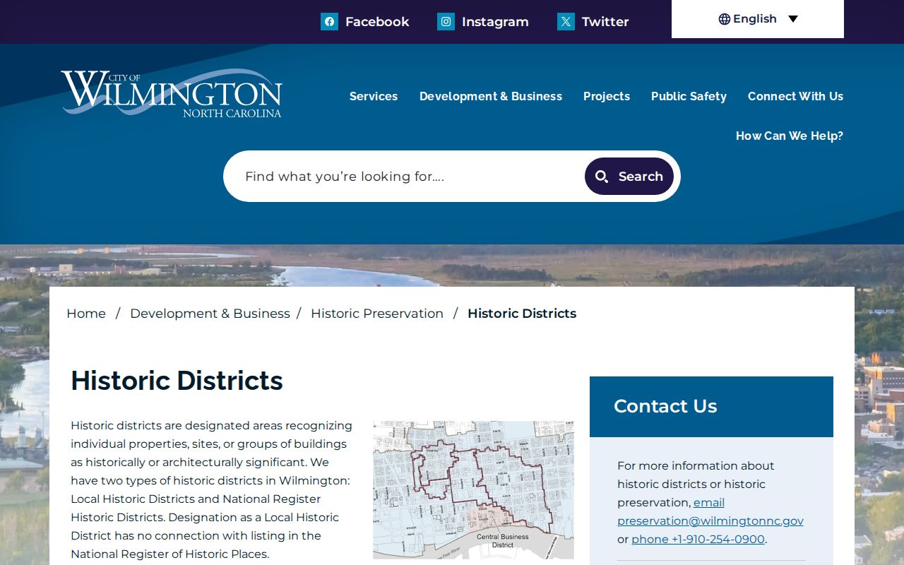
Historic-district and planning labels help explain why a block has a particular community history, but they are not parcel or ZIP boundaries. The city’s preservation material lists Wilmington Historic & Archaeological, Market Street Mansion, Carolina Place, Carolina Heights, Masonboro Sound, Sunset Park, Westbrook-Ardmore, and Brookwood. Its wording says seven while listing eight names, so the count should be verified before it is repeated as a fact. That is a useful Wilmington research quirk: read the names, not only the headline number.
The Wilmington historic-district page supplies the preservation context and public contact route.
The Wilmington City Clerk routes official city files, Council material, agendas, minutes, boards, and public-records requests.
For a historic block, combine a street index, Bill Reaves Block Books, a directory year, deeds or plats, Sanborn material, and newspapers. Each source describes a different layer of the block, and early addresses can be unnumbered or changed.
Wilmington Neighbors Record Choices Compared
Official sources keep the provenance clear. GIS shows geometry, Tax describes an owner and property, recorded documents explain the legal chain, and a lawful voter request is limited by statute. Commercial neighbor-search categories may combine parcel owners, older addresses, phone or marketing material, and inferred household links. Those blends can be stale and may conflate people with the same name. They should never displace a named public custodian.
| Source category | Best use around a block | Key limit |
|---|---|---|
| Official GIS and Tax | Confirm parcel geometry, owner, situs and tax-mailing context | Does not prove who currently lives at the property |
| Register of Deeds | Trace a deed, plat, easement, lot, or ownership change | Documents need context and may not show a current occupant |
| Voter lookup or defined record request | Check a limited registration or precinct question | Protected fields and addresses remain unavailable |
| Commercial neighbor-search category | Potential lead only | Identity matching and freshness can vary; not an official record |
Public city code cases and county permits can add address-linked project or violation context, but they are not resident lists. The Wilmington Police Records page describes limited incident, accident, and arrest information with posting delays and restrictions.
Use a case number, incident date, or official contact route when a public record is needed, and do not infer a person’s residence from a limited report listing.
Wilmington Neighbor Lookup Privacy Limits
Many facts about a block are not public through this record chain. Renters and other household members may not appear in property records. Utilities, delivery data, DMV personal information, private association rosters, protected voter addresses, juvenile and sealed court material, and confidential records are outside it. A parcel owner, a voter registration, and an organization contact each prove different things and should not be merged into a claim about every Wilmington neighbor.
The North Carolina Address Confidentiality Program protects the actual addresses of eligible participants through a substitute-address process. The county’s civic records should be used with the same care. If an official record has an error, take the record identifier and supporting information to the relevant custodian rather than circulating the error.
Lawful use. Use Wilmington neighbor research for personal, historical, civic, or safety awareness purposes. Do not use it to watch, stalk, harass, intimidate, or expose another person.
Note: Geometry, ownership, registration, and community participation are separate facts, and each needs its own source before it is repeated.